Investigation of Beatties Tarn Reroute
Tuesday 30 June 2015
The management plan suggests a re-route the Beatties Tarn side track and rehabilitate the old track, (page 37) and martin Hawes in his 2008 report on tracks commented that he was “not convinced it’s practical or desirable to prevent access to the tarn”.
The track has been closed for several years because the original track traversed a very wet area where some of the water flowed over a small flat area and became degraded. This area also had a considerable sphagnum content.
An investigation with Brendan and Trevor from PWS revealed that the final 80 metres of the old track was on hard ground and only needed trimming. The remaining distance of 240 metres could be easily rerouted away from the wet area onto hard ground that had a rock base.
It is estimated that about 3 working bees should be enough to complete the work and it could opened for the centenary year of Mount Field being declared a national park in 2016.
The rerouted track is only slightly longer than the old one. It is about 320 metres of track of which 80 metres is the existing but overgrown track and the remainder is rerouted but close to the former track.
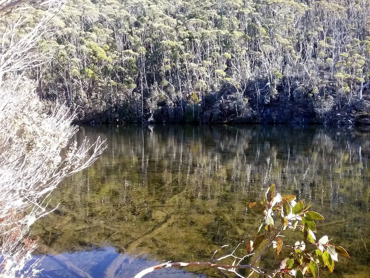
The tarn is named after Mr J. W Beattie, notable photographer and historian (Placenames Tas)
More information on the reroute can be viewed at this link, which it is hoped will be updated as progress on the work is made
 Greg on part of the reroute,
A photo album is online and can be viewed by clicking the image below
The management plan suggests a re-route the Beatties Tarn side track and rehabilitate the old track, (page 37) and martin Hawes in his 2008 report on tracks commented that he was “not convinced it’s practical or desirable to prevent access to the tarn”.
The track has been closed for several years because the original track traversed a very wet area where some of the water flowed over a small flat area and became degraded. This area also had a considerable sphagnum content.
An investigation with Brendan and Trevor from PWS revealed that the final 80 metres of the old track was on hard ground and only needed trimming. The remaining distance of 240 metres could be easily rerouted away from the wet area onto hard ground that had a rock base.
It is estimated that about 3 working bees should be enough to complete the work and it could opened for the centenary year of Mount Field being declared a national park in 2016.
The rerouted track is only slightly longer than the old one. It is about 320 metres of track of which 80 metres is the existing but overgrown track and the remainder is rerouted but close to the former track.
The tarn is named after Mr J. W Beattie, notable photographer and historian (Placenames Tas)
 |
| Beatties Tran |
A photo album is online and can be viewed by clicking the image below
 |
| Beatties and Seal June 2015 |
Comments